Posidonia oceanica is a protected seagrass that carpets much of the Balearic seabed, and anchoring on it is restricted by regional law. This matters directly for anyone chartering a boat here: where you anchor is not just a matter of finding a nice spot, it is governed by real rules with real enforcement. This guide covers what Posidonia is, where anchoring is restricted, how the regulated buoy system works, and how to check before you drop anchor.
La respuesta corta
Anchoring directly on Posidonia oceanica meadows is prohibited under Balearic regional law. In practice this means checking the seabed before you drop anchor — sandy patches between meadows are generally fine, the meadows themselves are not — and using a regulated mooring buoy where one is available, since buoy fields exist specifically to let boats moor in sensitive areas without touching the seabed at all.
Your skipper, whether that is you or a hired professional, is responsible for knowing this before anchoring anywhere in the Balearics. The rest of this guide explains the rule itself, how to check before you anchor, and what happens if you don’t.
This is not a minor technicality: Posidonia meadows are a genuine ecological priority for the region, and the rule is enforced with real inspections during the summer season, not just a notice on a marina noticeboard.What Posidonia is, and why it's protected
Posidonia oceanica is a marine flowering plant, not seaweed, endemic to the Mediterranean and extremely slow-growing — some meadows are estimated to be thousands of years old. It forms extensive underwater meadows that oxygenate the water, stabilise the seabed against erosion, and support a wide range of marine life. Around the Balearics these meadows cover more than 650 square kilometres of seabed, reaching depths of up to 43 metres within the Cabrera Archipelago National Park.
A dragging anchor or chain can tear out decades or centuries of growth in minutes, which is why protection focuses specifically on preventing anchor and chain contact rather than banning boats from the area entirely.
Swimming, snorkelling and passing over a meadow while under way cause no comparable damage — the restriction targets the specific mechanical action of an anchor or chain dragging across the seabed, not the mere presence of a boat nearby.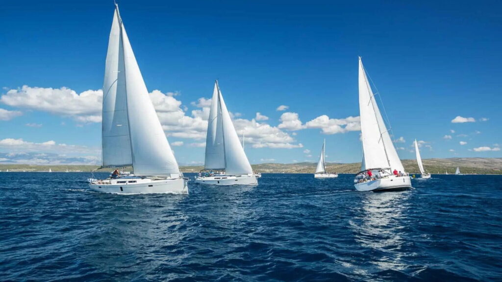
The 2018 decree
Anchoring restrictions are set out in Decree 25/2018, published in the Balearic official gazette on 28 July 2018. The decree classifies Posidonia meadows by conservation status and restricts anchoring specifically on cataloged meadows, while permitting anchoring on sandy zones between them until further low-impact mooring infrastructure is installed.
Where anchoring is restricted
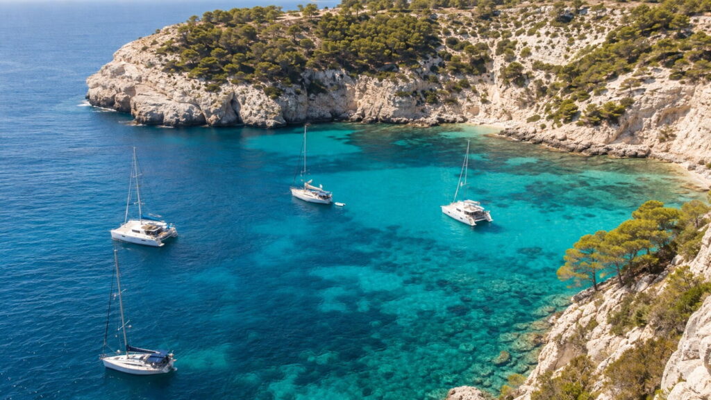
Restricted zones are not limited to one island or one type of anchorage — Posidonia meadows are widespread across all four Balearic islands, including many of the calas popular with charterers. This means you cannot assume a beautiful, popular anchorage is automatically clear of restrictions; some of the most photographed bays in the Balearics have significant Posidonia coverage specifically because their calm, clear, shallow water is exactly the condition the seagrass thrives in.
This is genuinely counterintuitive for many first-time charterers: the calmest, most inviting-looking anchorages are often the ones with the most seagrass, precisely because those same calm, shallow, light-filled conditions are what Posidonia needs to grow.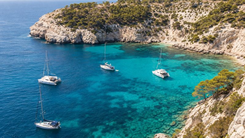
The regulated buoy system
To let boats moor safely in sensitive areas without anchoring at all, Puertos de Baleares manages regulated mooring buoy fields across the islands, with more than 250 low-impact buoys in place. Buoys are colour-coded by boat length: red for boats up to 8 metres, white for 8–15 metres, yellow for 15–25 metres, and green for 25–35 metres. Using the correctly sized buoy for your boat, where one is available, is the simplest way to avoid the anchoring question entirely.
Buoy fields are concentrated in the most heavily visited calas precisely because those are the anchorages where uncontrolled anchoring would otherwise cause the most damage, so checking for a buoy field before assuming you need to anchor at all is worth the extra minute of planning.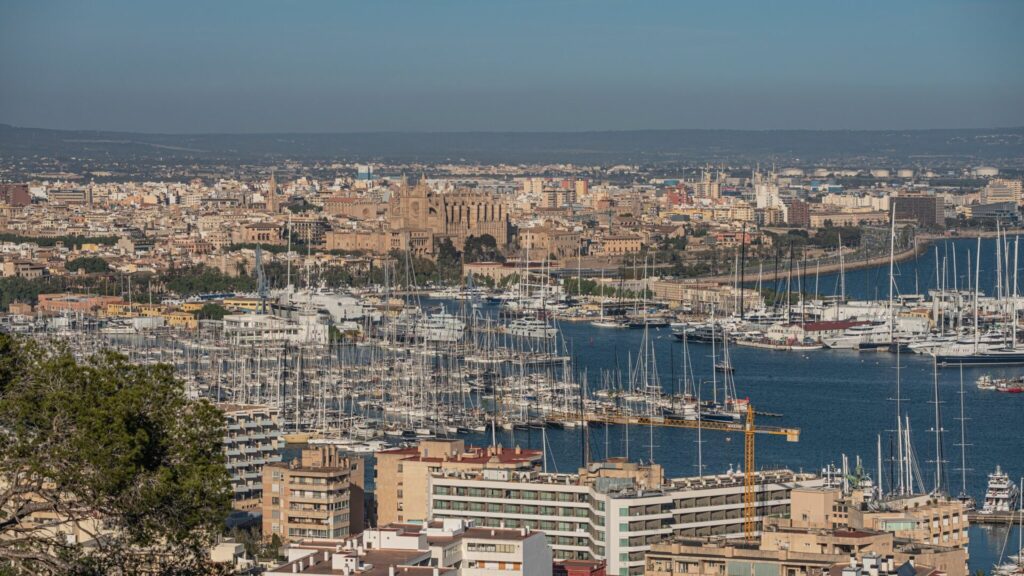
Checking before you anchor
The Balearic government publishes full Posidonia cartography via its official Cuidam Posidonia mapping portal, which shows meadow locations across the archipelago in detail. Several mobile apps built on this same data let you check your position against the meadow map before dropping anchor. A professional skipper hired through a Balearic charter company (see our skipper hire guide) will already know the restricted zones for your planned route, which is one practical reason to consider a skippered charter if you are unfamiliar with the specific anchorages you plan to visit.
Fines and enforcement
Enforcement is active and has been increasing: surveillance patrols operate specifically from June to September, and a recent season recorded more than 181,000 monitoring actions, an increase of roughly 40% year on year. Fines for illegal anchoring on protected Posidonia vary by the specific area, the damage caused and the applicable regulation, so there is no single fixed penalty — but enforcement is real, not theoretical, and inspectors do issue citations during the summer season.
Best practice for charterers
Check the seabed visually or via a mapping app before anchoring in any cala you have not visited before. Prefer a regulated mooring buoy over anchoring wherever one is available and sized for your boat. If you must anchor and are unsure of the seabed, look for clearly sandy patches rather than the darker, textured patches that indicate a meadow. When in doubt, ask your charter company or skipper — this is exactly the kind of local knowledge a professional operator brings that an unfamiliar first-time visitor may not have.
Buoy colour reference
| Buoy colour | Boat length |
|---|---|
| Red | Up to 8 metres |
| White | 8–15 metres |
| Yellow | 15–25 metres |
| Green | 25–35 metres |
Anchor responsibly
Posidonia protection is one of the few rules that applies identically no matter which island, boat type or charter company you choose — it is a feature of Balearic waters themselves, not a company policy. Building in a few minutes to check the seabed before anchoring is a small habit that protects meadows that took centuries to grow. See our first-time charter checklist for this and other essentials to plan around before you set off.
Questions about anchoring and Posidonia
Clear information before you drop anchor.
Is anchoring banned everywhere in the Balearics?
No — anchoring is restricted specifically on cataloged Posidonia meadows. Sandy zones between meadows, and areas without significant Posidonia coverage, remain open to anchoring.
What is the easiest way to avoid breaking the rule?
Use a regulated mooring buoy sized for your boat where one is available, and check a Posidonia mapping app or ask your skipper before anchoring anywhere unfamiliar.
How is the rule enforced?
Surveillance patrols operate from June to September, with a significant number of monitoring actions recorded each season. Fines vary by area and severity.
Does a skippered charter reduce the risk of breaking Posidonia rules?
Generally yes — a professional local skipper typically already knows restricted anchorages for common routes, reducing the chance of an unintentional violation.
Where can I check Posidonia locations before my charter?
The Balearic government’s official Cuidam Posidonia mapping portal publishes full cartography, and several mobile apps are built on the same data.
Book a skippered charter and let a local expert handle it.
Our skippers already know the restricted anchorages on your route.